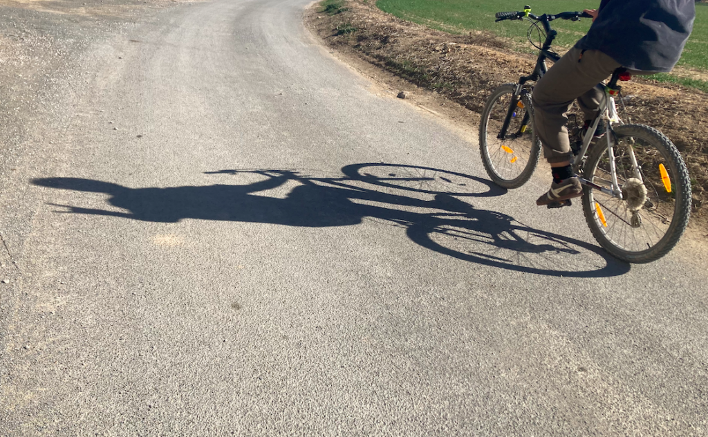
Let's cycle together! creating safe paths for trans and non binary people
petricoraventuras@gmail.com
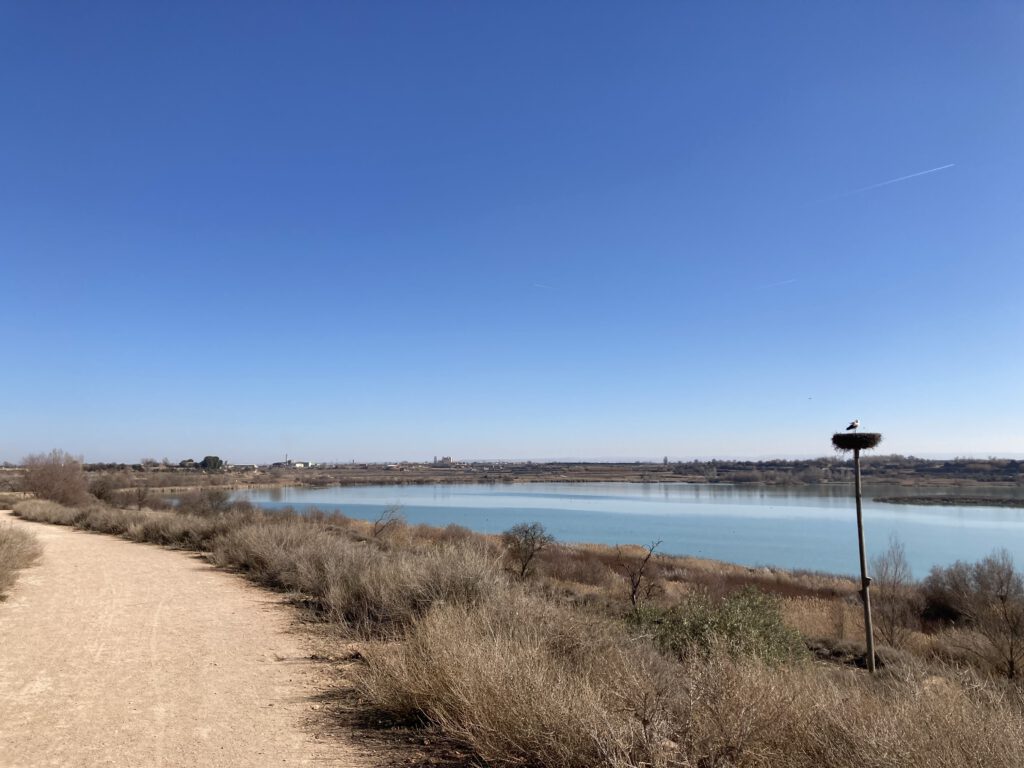
Tracks 'Unmapping Trans Counter-Geographies' On-the-move interview with Ginesta
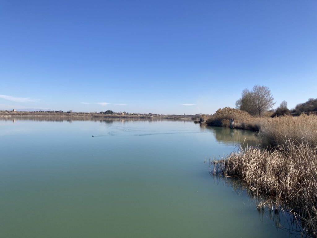
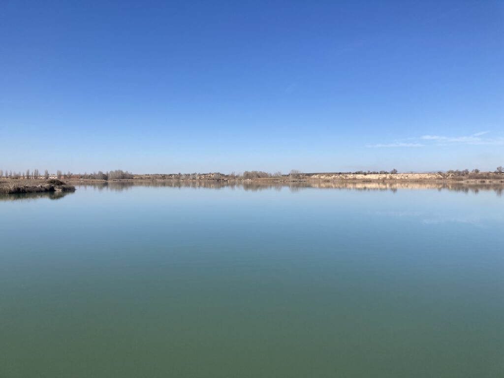
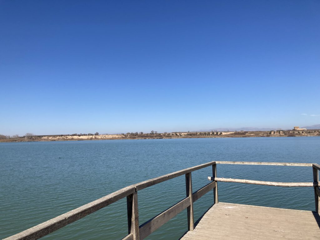
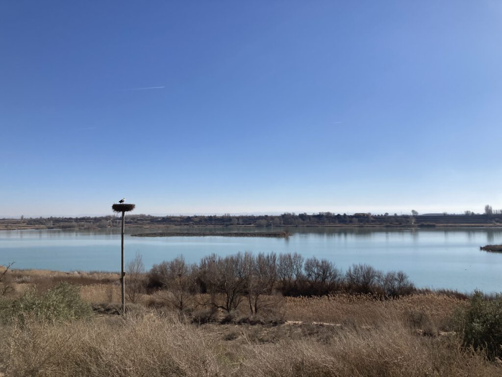
Comfortable 27.7km ride with 130m of elevation gain. The route follows a small road through a couple of villages, La Fuliola and Ivars d’Urgell, until it reaches the Estany d’Ivars, a protected natural space that consists of a small lake and natural area around it, through a gravel path with no cars. Along the lake it is possible to take a few breaks at some wooden piers that are placed around the lake. There is also a rest area in the north side, with tables, benches, and an overview of the lake.