Let's cycle together! creating safe paths for trans and non binary people
petricoraventuras@gmail.com
Tracks 'Unmapping Trans Counter-Geographies' On-the-move interview with Castor
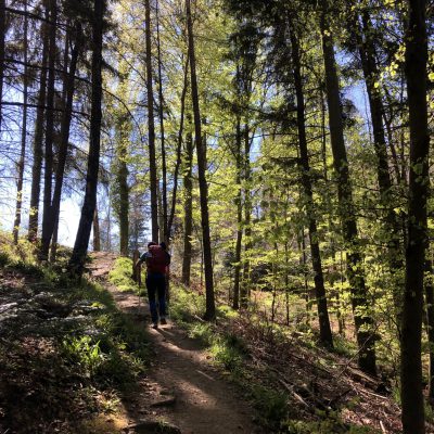
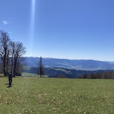
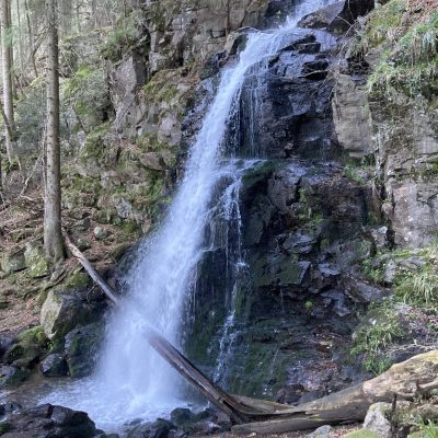
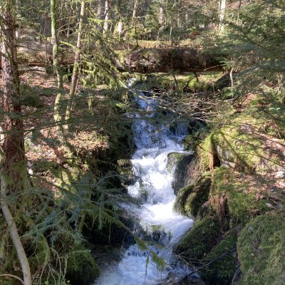
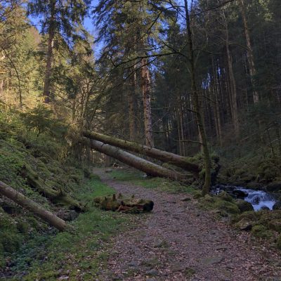
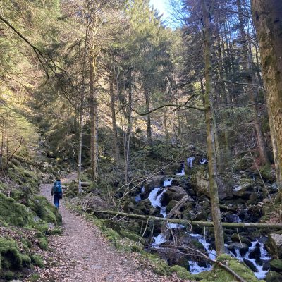
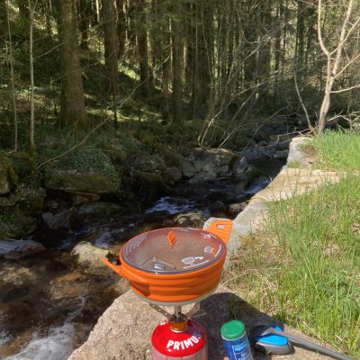
This route is a 2-days proposal of the ZweiTälerSteig (21km + 28km), a circular 106km route, divided in 5 stages. The first day starts in the village Waldkirch by going up the mountain Kandel. It is a steep path that goes up for 10km. By the top of the mountain there are beautiful views, and it is usually very windy. The route goes through wide and easy trails until the Zweribach Waterfalls. Shortly after there is a refuge spot with possibility to wild camp by the old Brunnenhof. On the first part of the second day, the route follows a narrow path through a beautiful, dense, and green forest by a river, followed by an easy portion through the valley until the village Simonswald, where it goes through a gravel road up the mountain Hörnleberg and down on the other side of the mountain to the village Bleibach. The route is technically moderated (it is very well signed), but because of the length and elevation gain, it is a difficult route.